Introduction
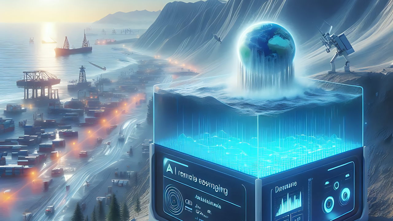
Sea level rise is one of the most significant consequences of climate change. As global temperatures increase, glaciers and ice sheets melt, adding more water to the oceans. Additionally, warmer ocean temperatures cause water to expand, further contributing to rising sea levels. Rising sea levels pose serious risks to coastal communities, infrastructure, and ecosystems. Cities located near coastlines face increased flooding, erosion, and storm surge impacts. Small island nations are particularly vulnerable, with some facing the possibility of partial or complete submergence in the coming decades. Monitoring sea level changes is essential for understanding climate trends and preparing for future environmental challenges. Traditional measurement techniques, such as tide gauges and satellite observations, have provided valuable data. However, analyzing sea level trends across vast geographic regions and long time periods requires advanced computational tools. Artificial Intelligence (AI) is transforming sea level monitoring by enabling large-scale data analysis and predictive modeling. AI systems process information from satellites, ocean sensors, and climate models to detect patterns and forecast future changes. These capabilities enhance scientific understanding and support evidence-based decision-making.
Why Sea Level Monitoring Matters
Sea level rise affects both natural and human systems. Coastal erosion gradually removes land, threatening infrastructure and ecosystems. Flooding becomes more frequent, increasing risks to homes and businesses. Storm surges—temporary rises in sea level caused by storms—become more destructive when baseline sea levels are higher. Economic impacts are also significant. Ports, tourism industries, and fisheries depend on stable coastal environments. Rising sea levels can disrupt these industries, leading to financial losses and employment challenges. Understanding sea level trends helps governments and organizations develop adaptation strategies. Infrastructure improvements, coastal defenses, and urban planning measures can reduce vulnerability to flooding and erosion. AI enhances these efforts by providing accurate, real-time insights into environmental changes.
How AI Improves Sea Level Data Analysis
Sea level monitoring generates vast amounts of data from multiple sources. Satellites measure ocean height from space, while tide gauges record local water levels. Oceanographic sensors provide additional information about temperature and salinity—factors that influence water volume. AI systems process this data efficiently, identifying trends and anomalies. Machine learning algorithms analyze satellite imagery to detect subtle changes in ocean height. By comparing historical data with current measurements, AI models assess long-term sea level trends. This capability is important because sea level changes occur gradually. Small variations may not be immediately noticeable, but they provide critical insights into climate dynamics. AI also integrates data from different sources. Satellite observations, tide gauge readings, and climate models are combined to create comprehensive sea level assessments. This holistic approach improves accuracy and scientific understanding.
Predictive Modeling and Future Sea Level Projections
One of AI’s most valuable contributions is predictive modeling. By analyzing historical trends and environmental variables, AI systems forecast future sea level changes. Machine learning algorithms identify relationships between temperature increases, ice melt rates, and ocean expansion. These relationships help scientists estimate how sea levels may rise under different climate scenarios. For example, if global emissions continue to increase, AI models can project corresponding sea level changes. These projections support strategic planning and risk assessment. Predictive modeling is particularly important for coastal planning. Governments and urban planners use AI-generated insights to evaluate infrastructure risks and develop adaptation strategies. Elevation mapping, flood risk assessments, and coastal defense planning benefit from data-driven analysis. By anticipating future challenges, societies can implement proactive solutions.
Supporting Coastal Infrastructure Planning
Coastal infrastructure is vulnerable to sea level rise. Roads, bridges, and buildings located near shorelines face increased flooding risks. Damage to infrastructure disrupts transportation, commerce, and essential services. AI helps urban planners and engineers assess infrastructure vulnerability. By analyzing geographic data and sea level projections, AI systems identify high-risk areas. This information guides infrastructure design and development. For example, cities may prioritize flood-resistant construction techniques and elevated building designs. Coastal defenses, such as sea walls and natural barriers, can reduce flooding impacts. AI-driven insights support sustainable urban development. Data-informed planning improves resilience and reduces long-term economic risks.
Monitoring Coastal Ecosystems
Coastal ecosystems, including mangroves, wetlands, and coral reefs, provide important environmental benefits. These ecosystems support biodiversity, protect shorelines, and improve water quality. Sea level rise threatens coastal ecosystems by altering habitats and increasing salinity levels. Wetlands may become submerged, reducing their ecological functions. Coral reefs are sensitive to environmental changes, and rising ocean temperatures exacerbate bleaching events. AI helps monitor ecosystem health by analyzing satellite imagery and environmental data. Machine learning models detect changes in vegetation, water levels, and habitat conditions. Early detection enables conservation efforts and ecological restoration. Protecting coastal ecosystems is essential for environmental sustainability and climate resilience.
Real-Time Monitoring and Early Warning Systems
Flooding is one of the most immediate risks associated with sea level rise. Storm surges and high tides can inundate coastal areas, causing property damage and safety concerns. AI-powered monitoring systems provide real-time data on ocean conditions. Sensors and satellite observations detect changes in water levels and weather patterns. If flooding risks increase, early warning systems alert communities and emergency responders. These warnings allow for timely preparation. Residents can evacuate if necessary, and authorities can implement flood mitigation measures. Real-time information improves disaster response and reduces risks to human life. AI-driven monitoring enhances public safety and environmental management.
Challenges in Sea Level Monitoring
Despite technological advancements, monitoring sea level changes presents challenges. Data availability and quality vary across regions. Remote areas may lack sufficient monitoring infrastructure, limiting data collection. Climate systems are also complex. Sea level changes result from multiple factors, including ice melt, ocean expansion, and regional variations. Accurately modeling these interactions requires sophisticated analytical tools. AI helps address these challenges by improving data integration and analysis. However, continued investment in monitoring infrastructure and research is essential. Scientific collaboration and technological innovation support progress in climate science.
The Role of AI in Climate Adaptation
Sea level rise is a long-term environmental challenge. While mitigation efforts aim to reduce greenhouse gas emissions, adaptation strategies help communities manage existing risks. AI contributes to climate adaptation by providing actionable insights. Urban planners, policymakers, and environmental organizations use AI-generated data to develop resilience strategies. Flood-resistant infrastructure, sustainable land use planning, and coastal protection measures reduce vulnerability. Data-driven decision-making enhances environmental management and community preparedness. AI is not a solution to climate change on its own, but it is a powerful tool for understanding and addressing environmental challenges.
Looking Ahead
The future of sea level monitoring will increasingly rely on advanced technologies. AI, satellite systems, and environmental sensors will continue to improve data accuracy and predictive capabilities. Real-time monitoring networks may provide continuous global insights into sea level trends. These systems will support scientific research and policy development. International cooperation is also important. Climate change is a global challenge, and data sharing enhances collective understanding. By combining technological innovation with environmental stewardship, societies can address sea level risks and promote sustainability.
Conclusion
Sea level rise is a significant consequence of climate change with far-reaching implications. Monitoring and understanding these changes is essential for environmental management and urban planning. Artificial Intelligence enhances sea level monitoring by analyzing large datasets and identifying trends. Predictive modeling and real-time data analysis improve scientific understanding and decision-making. However, technology alone is not sufficient. Effective climate action requires collaboration between governments, researchers, and communities.
Log in with a verified account to post comments.
Log in · Register
Comments